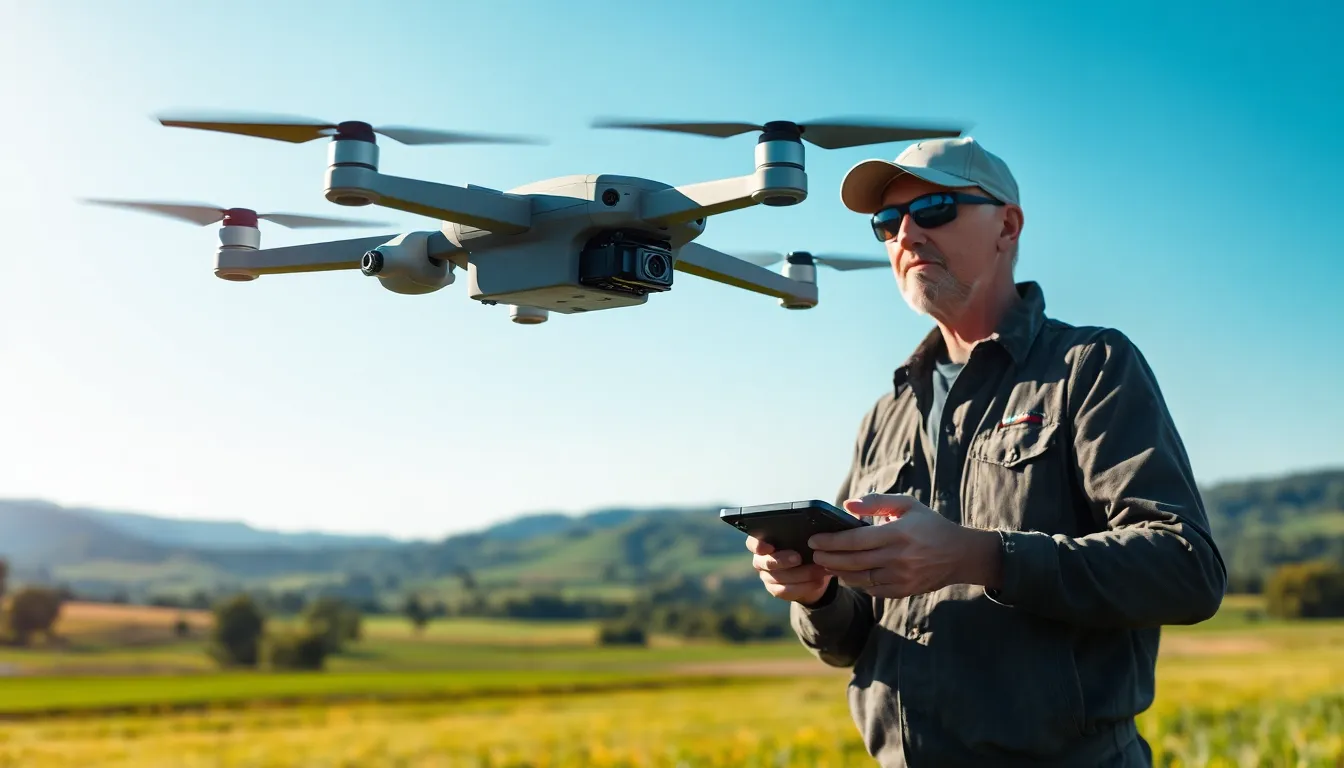
Drones equipped with LiDAR technology are taking the skies by storm, and it’s not just because they look cool. Imagine a bird’s-eye view that can map landscapes with pinpoint accuracy, all while dodging trees like a pro. These high-flying gadgets are revolutionizing industries from construction to agriculture, making them the superheroes of data collection.
Overview of Drones with Lidar
Drones equipped with LiDAR technology serve as powerful tools for high-resolution aerial mapping. These devices utilize laser pulses to measure distances, yielding precise topographic data and creating detailed three-dimensional models. Industries such as construction and agriculture benefit significantly from this technology.
LiDAR drones excel in areas like vegetation analysis and land surveying. Effective in capturing critical information, they enhance decision-making processes by providing comprehensive datasets. Data collected by these drones aids in assessing land conditions and monitoring environmental changes over time.
In construction, LiDAR-equipped drones streamline site mapping and progress tracking. They improve project management practices by generating accurate terrain models and enabling effective land use planning. Agriculture also experiences advantages, as farmers can utilize LiDAR data for precision farming techniques.
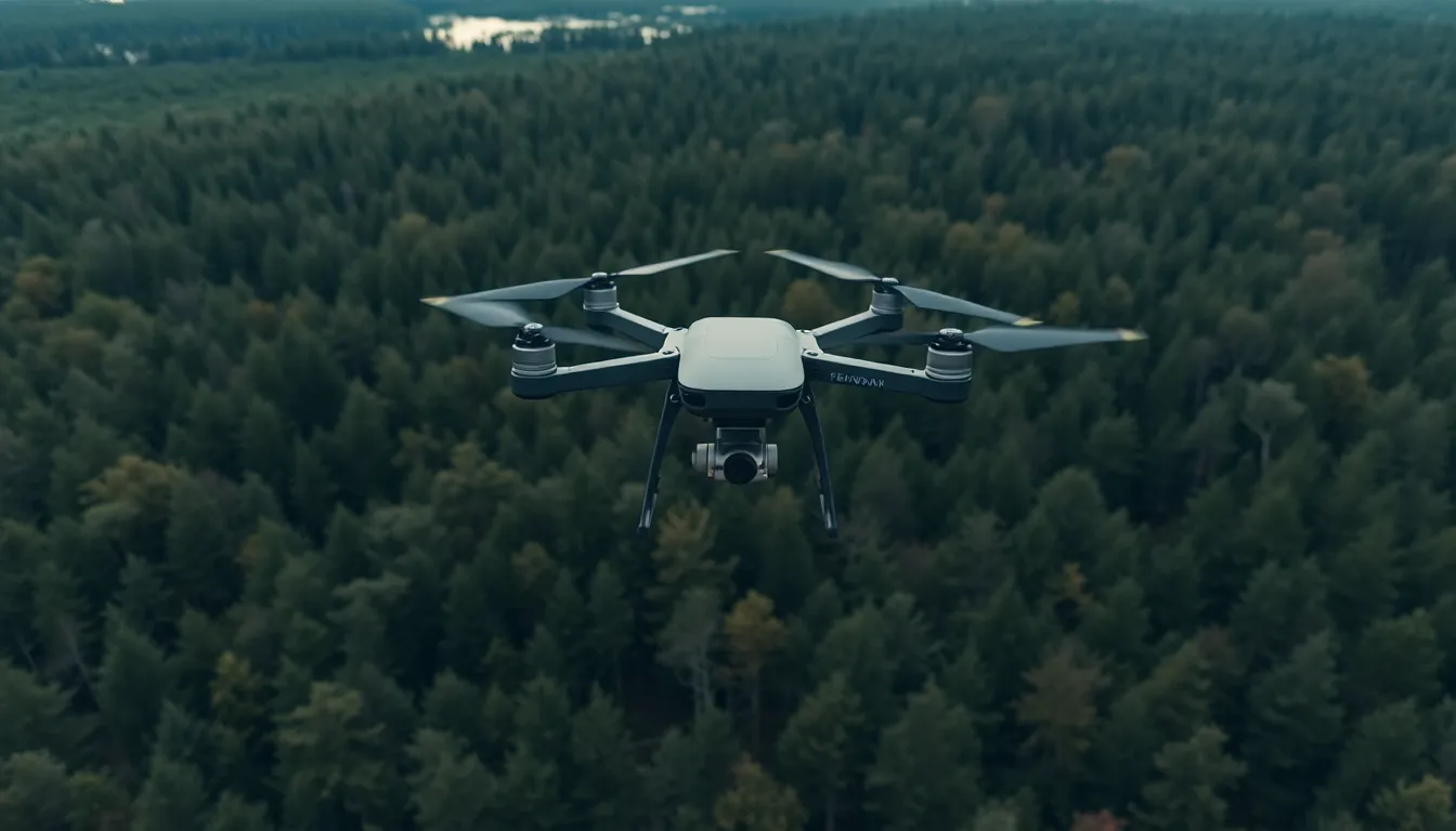
Different types of LiDAR systems exist, including airborne and terrestrial models. Airborne LiDAR systems are typically mounted on drones, allowing them to cover extensive areas quickly. Terrestrial LiDAR, on the other hand, focuses on detailed ground-level data collection, often positioning itself on stationary platforms.
Many drone manufacturers offer LiDAR integration options for their products. Companies like DJI, senseFly, and Quantum Systems provide tailored solutions to fit varying industry needs. Features such as obstacle avoidance and GPS redundancy enhance the operational efficiency of these drones.
The combination of drones and LiDAR technology exemplifies innovation in data collection. Their capabilities represent a significant advancement over traditional surveying methods, delivering improved speed and accuracy. Stakeholders across multiple sectors recognize the growing importance of this technology in shaping the future of their industries.
Applications of Drones with Lidar
Drones equipped with LiDAR technology find utility across various sectors, providing essential insights and enhancing operational efficiency. Their applications extend from surveying to infrastructure inspections.
Surveying and Mapping
Drones with LiDAR excel in surveying and mapping tasks. They generate high-resolution topographic maps quickly and accurately. Increased detail allows surveyors to collect data in hard-to-reach areas, improving project outcomes. Topographic analysis leads to better land use planning and environmental assessment. Additionally, many industries, including real estate and mining, benefit from the precise measurements obtained through these aerial technologies.
Environmental Monitoring
Environmental monitoring also relies on drones with LiDAR for accurate data collection. These drones measure vegetation height and density, providing critical information for forestry management. Monitoring ecological changes becomes efficient through regular aerial surveys. When assessing land conditions, quick identification of potential hazards or changes allows for timely interventions. Ultimately, LiDAR-equipped drones support conservation efforts by mapping ecosystems and monitoring habitat changes.
Infrastructure Inspections
Infrastructure inspections greatly benefit from the capabilities of LiDAR drones. They offer quick evaluations of bridges, power lines, and roadways, enabling engineers to detect structural issues early. Regular inspections using LiDAR data enhance public safety by identifying risks before they escalate. Cost efficiency increases due to reduced man hours and improved safety protocols. By providing detailed 3D models, these drones assist in planning maintenance and upgrades effectively.
Advantages of Using Drones with Lidar
Drones equipped with LiDAR technology offer significant advantages in various applications, enhancing the effectiveness of data collection.
Speed and Efficiency
Drones with LiDAR complete mapping tasks much faster than traditional ground surveys. Many projects, which once took days or weeks to finish, can now be done in hours. This rapid data acquisition accelerates project timelines, enabling quicker decision-making. By covering large areas efficiently, they decrease manpower costs while increasing overall productivity. Moreover, they simplify access to difficult terrains, making data collection possible in locations that are hard to reach by foot.
High-Resolution Data Collection
High-resolution data gathered by LiDAR-equipped drones provides detailed insights for numerous industries. Clean, accurate topographic maps derived from LiDAR data enhance land use planning and environmental monitoring. Vegetation analysis benefits significantly, offering precise measurements of canopy height and density. Such detail supports informed decision-making for construction projects and conservation initiatives. Additionally, these high-quality datasets facilitate timely identification of hazards, ensuring proactive management in various sectors.
Limitations of Drones with Lidar
Drones equipped with LiDAR technology have significant limitations that must be recognized for effective application.
Cost Considerations
High initial investment poses a challenge for many organizations. Purchase, maintenance, and training related to drone and LiDAR systems incur substantial costs. Operating drones requires hiring skilled personnel, which adds to operational expenses. Budget constraints often limit accessibility for smaller firms or municipalities. Long-term financial planning essential minimizes the impact of deployment costs in the project’s lifecycle. Investing in LiDAR technology needs to align with organizational financial capabilities and project requirements.
Weather Constraints
Weather conditions significantly affect the performance of LiDAR-equipped drones. Heavy rain and high winds can disrupt flight operations and data collection. These atmospheric elements reduce ground visibility, impacting LiDAR’s accuracy. Cold temperatures may affect battery performance, limiting operational time. Scheduling flights around inclement weather requires flexibility, particularly for time-sensitive projects. Despite their advanced capabilities, these drones can’t operate optimally in adverse weather situations, complicating planning and execution.
Drones equipped with LiDAR technology are revolutionizing how industries approach mapping and data collection. Their ability to efficiently gather high-resolution data transforms decision-making processes across construction, agriculture, and environmental monitoring. While challenges like cost and weather limitations exist, the advantages they offer in speed and precision far outweigh these drawbacks. As technology continues to advance, the integration of drones with LiDAR is likely to expand further, paving the way for innovative applications and enhanced operational efficiency. Embracing this technology will be crucial for organizations aiming to stay competitive and make informed decisions in an ever-evolving landscape.